
Situated along the western coast of Sweden, the Bohuslän archipelago is a breathtaking tapestry of over 8,000 islands and islets. This coastal wonderland stretches from Gothenburg to the Norwegian border, offering a blend of serene nature, charming villages, and a rich cultural heritage. Think smooth granite rocks, crystal-clear waters with summer’s clear blues skies contrasting with lush forested greenery.
Marstrand

Ramsvikslandet

Åstol

Dyrön
I fly into Gothenburg, the gateway to the islands, but also an interesting place to start and finish my trip. It’s Sweden’s second city, an attractive mixture of green and water.

Gothenburg

Gothenburg

Gothenburg
The largest port in the Nordics, the centre is also criss-crossed by canals, lined with parks and linked by cobbled streets. I climb the hill in the Haga district for the view of the city from the Skansen Kronan fortress. The sun is shining, perfect weather for island hopping.

Gothenburg

Gothenburg

Gothenburg
Day 1: Marstrand 10km
It’s around an hour by bus north west to Koön, the island which sits opposite Marstrand. They’re separated by a five minute ferry ride and I’m soon in its attractive harbour. I’m palling to walk all round the island, around 5km. The walk begins at the colourful wooden houses on the seafront, overlooked by the Carlsten Fortress, the imposing 17th-century fortification.

Marstrand

Marstrand

Marstrand
Marstrand’s prosperity peaked when it was declared a free port in 1775 by King Gustav III of Sweden. This status exempted the town from certain taxes and customs duties, attracting merchants and fostering a vibrant, international trading environment. It had a vibrant herring fishery, now sadly gone, but these days it’s the playground of the rich and famous

Marstrand

Marstrand

Marstrand
Soon I’m out into open countryside and I pass several spots, ideal for swimming. At the westernmost point is Skallens Fyr lighthouse where two bodies of water, Skagerrak and Kattegat, meet. It can be rough here but today all is quiet and I make my way back along the southern coast before climbing up to the fortress. This is a good place to stop and take in the view.
Koön
It’s only lunchtime, so I take the ferry back to Koön and choose the most difficult of three well-marked trail loops. This path goes up and down over huge rocks and across large areas of marshland. It could be slippery in wet weather but today is a joy. Wooden staircases and raised platforms have been constructed along the length of the route.
Throughout there are tremendous views of the Carlsten Fortress and the island of Åstol in the north. Towards the end of the walk I come across rock shelters and three 7.5mm cannon emplacements, relics of the cold war. The defences were blasted out of the rock and designed to protect against conventional, biological and chemical weapons. The battery was decommissioned in 2004.
It’s been a glorious day of sunshine, with little wind, perfect weather for exploring the islands. I might even be tempted to swim if it gets any warmer.
Day 2: Dyrön 5km
Next day I catch the bus east to meet the ferry to Dyrön – this is a small boat just foot passengers and bikes and after 25 minutes I’m soon disembarking at the island’s port. The name “Dyrön” is believed to be derived from Old Norse, with “dyr” meaning “animal” or “deer,” indicating a profusion of wildlife. The island has been inhabited since the Bronze Age and its strategic location made it an important point for maritime navigation and trade in the North Sea.
I’m going to be taking the Dyröleden trail which follows the coast all the way around, an easy walk. There are no cars here so this is really unspoilt nature with few people on the paths. Forest gives way to wider stretches of rocks, and I’m soon at the tiny harbour of Nordhamnen on the other side of the island
Lunch is at Trålverket Restaurant, fish of course, with stunning sea views. The path then climbs up on wooden stairways over the boulders passing the narrow Dynes Ravine. There are views of the tiny island of Åstol and then a long wooden boardwalk brings me back close to the harbour. I have time before the boat, so I jump into the sea, a refreshing dip and surprisingly not too cold at this time of year.

Dyrön Nordhamnen

Dyrön and Åstol

Dyrön
Day 3: Ramsvikslandet 15km

Sote Canal

Ramsvikslandet

Ramsvikslandet
It’s a 125 km drive north to Ramsvikslandet, once a peninsula but now an island cut off from the mainland by the Sote Canal. Its unique rock formations include a profusion of granite which in the 19th century contributed to Sweden’s building boom. The stone was cut here and exported all over the country to be used in civic buildings.

Ramsvikslandet

Ramsvikslandet

Ramsvikslandet
I start in the north and enter the Ramsvikslandet nature reserve, famously known as the Kingdom of the Rocks. The trail leads over vast stretches of wave worn rocks broken up by clusters of trees and marsh. There’s a patch of forest and then I meet the sea at Grosshamn.

Ramsvikslandet

Ramsvikslandet

Ramsvikslandet
I continue along the coast to Sote Huvund, a treeless stretch of pink granite rocks. Stonecutters were once at work here and there are piles of half-finished blocks scattered around the landscape. Haby Bay is one of the best places to swim in this part of the island, but I’m slightly pressed for time. I cross the swing bridge over the canal back to the mainland and catch the bus to Smögen, my destination for today.
Day 4: Smögen 20km
One of the most famous tourist spots in Bohuslän, Smögen is hard to beat. Its prosperity was based on herring but in the 19th century it diversified, expanding into other maritime industries. This was when the town’s iconic wooden buildings were constructed, lending the centre a unique architectural unity.
On the seafront colourful wooden boathouses, lining the 600m harbour, have been converted into shops, cafés and restaurants. Fish is definitely on the menu and boats still arrive here early morning with their catch auctioned at the market. There are short walks around the island but I’m going to be tackling the 24th stage of the 376km Kuststigen trail.
Rain is threatening when I take the bus east to Tullboden. There’s a ferry here to the island of Malmon but I turn around and set out back to Smögen. The varied landscape includes forest, marsh and treeless expanses of rocks. Abandoned quarries emerge in the middle of the woodland, then I drop down to the water.

Kuststigen Trail

Kuststigen Trail

Kuststigen Trail
There are views out to the other islands as I pass tiny fishing villages sitting on the shoreline. All is peaceful here, no people, just an abundance of birdlife, and I’m soon at Hovenäset, whose wooden houses date from the beginning of the 1900s. I skirt the larger town of Kungshamn before walking across the busy bridge to Smögen. It’s the end of my journey and it begins to rain.
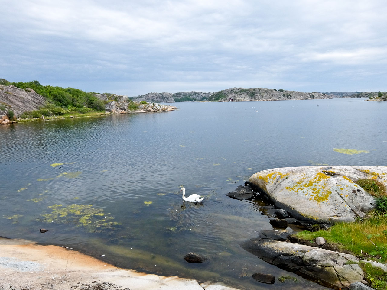
Swan near Smögen
Factfile
GO: BA flies direct daily from Heathrow to Gothenburg. The best time to visit the islands is in late spring or early autumn as they can get crowded in the summer.
INFO: Visit Sweden has information about the country.
West Sweden has information about the region.
STAY: Comfort Hotel Göteborg has views over the port and Asian Fusion at its OGBG Bar & Restaurant.
Marstrands Havshotell has rooms with balconies offering stunning sea views and also good food.
Smögens Hafvsbad is in a charming 1900’s heritage building with spa and excellent food.
EAT: Grand Tenan Restaurant in Grand Hotel Marstrand is famous for its garlic gratinated langoustine.
Trålverket Restaurant on Dyrön in the quayside at Nordhamnen, has seaviews and good fish.
Skärets Krog has wonderful seafood on the harbour at Smögenbryggan.


")